Some resources and databases allow you to create an account to store progress or research information. When creating accounts for library resources & databases, please be sure to select "Fontana Regional Library" if prompted to select a library.
login Logging in with your Library Card
Some resources and databases will require you to login using your library card number and password/PIN. Your library card number is located on the back of your library card. Your password/PIN will be the same password you use to login to your online catalog account. The default password/PIN (if you have not reset or changed it) is usually the last 4 digits of your primary phone number.
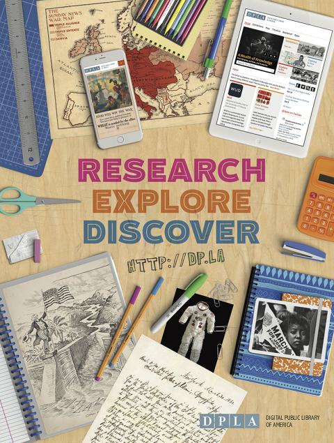
The Digital Public Library of America (DPLA) provides access to millions of photographs, manuscripts, books, sounds, moving images, and more from libraries, archives, and museums across the United States. Find primary sources to use in school projects, academic research, family history research, and more.
DPLA connects people to the riches held within America’s libraries, archives, museums, and other cultural heritage institutions. All of the materials found through DPLA—photographs, books, maps, news footage, oral histories, personal letters, museum objects, artwork, government documents, and so much more—are free and immediately available in digital format. The cultural institutions participating in DPLA represent the richness and diversity of America itself, from the smallest local history museum to our nation’s largest cultural institutions.
Digital Sanborn Maps (1867-1970) for North Carolina delivers detailed property and land-use records that depict the grid of everyday life in 158 North Carolina towns and cities across a century of change.
Digital Sanborn® Maps delivers detailed property and land-use records that depict the grid of everyday life in more than 12,000 U.S. towns and cities across a century of change.
Sanborn® fire insurance maps are the most frequently consulted maps in libraries. Founded in 1867 by D. A. Sanborn, the Sanborn Map Company was the primary American publisher of fire insurance maps for nearly 100 years, repeatedly mapping towns and cities as they changed.
The maps provide a wealth of information, such as building outline, size and shape, windows and doors, street and sidewalk widths, boundaries, and property numbers. Plans often include details on construction materials and building use; and also depict pipelines, railroads, wells, water mains, dumps, and other features likely to affect the property's vulnerability to earthquake, fire, and flood.
Combined with other sources such as city directories, photographs, small-scale maps, census records, genealogies, and statistical data—the Sanborn Maps provide an unparalleled picture of life in American towns and cities.
Explore the history and culture of North Carolina through original materials from cultural heritage repositories across the state.
The North Carolina Digital Heritage Center is a statewide digitization and digital publishing program housed in the North Carolina Collection at the University of North Carolina at Chapel Hill. The Digital Heritage Center works with cultural heritage institutions across North Carolina to digitize and publish historic materials online. Collections include: